tehri dam & artificial lake (india) - 22 photos
Photos of the Tehri Dam and Reservoir (India)
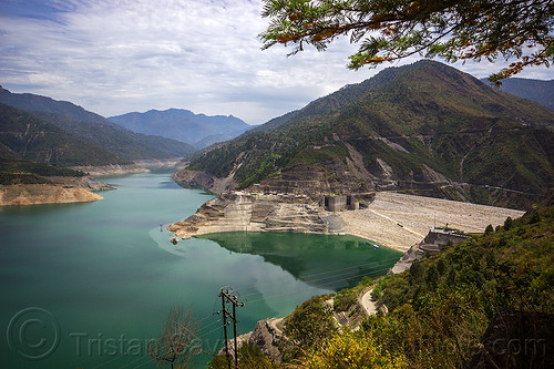
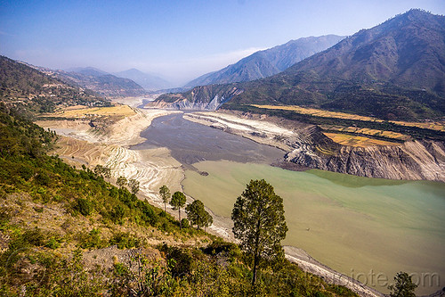
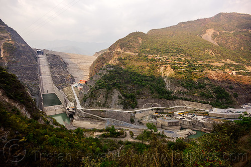
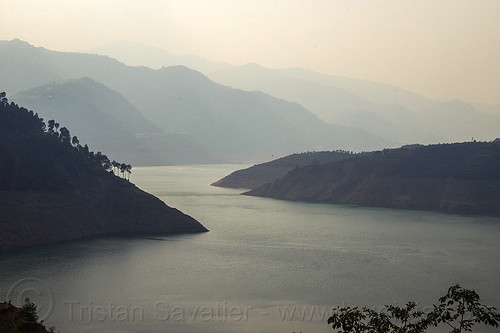
The Tehri Dam created a huge artificial lake in the Bhilangna valley and Bhagirathi valley, two headstreams of the Ganges.
The Tehri Dam was (and still is) a very controversial project, as the flooding of the upstream valleys resulted in the destruction of numerous villages and a town (Tehri) that are now submerged, and forced the relocation of about 100,000 people.
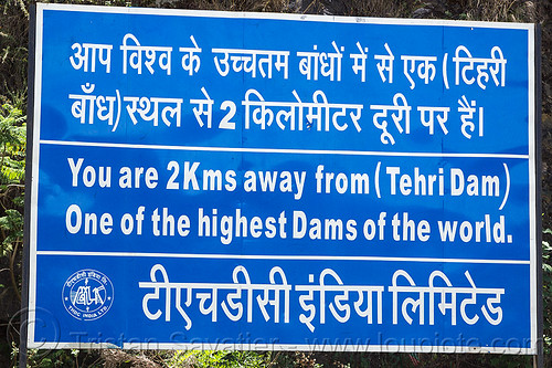
The Tehri Dam is the tallest dam in India and one of the tallest in the world. The dam is a 260.5 metres (855 ft) high rock and earth-fill embankment dam. Its length is 575 metres (1,886 ft), crest width 20 metres (66 ft), and base width 1,128 metres (3,701 ft). The dam creates a reservoir of 4.0 cubic kilometres (3,200,000 acre·ft) with a surface area of 52 square kilometres (20 sq mi).
It generates 1,000 megawatts of hydroelectricity.
Since 2005, filling of the reservoir has led to the reduced flow of Bhagirathi water from the normal 1,000 cubic feet per second (28 m3/s) to a mere 200 cubic feet per second (5.7 m3/s). This reduction has been central to local protest against the dam, since the Bhagirathi is considered part of the sacred Ganges whose waters are crucial to Hindu beliefs.
For more info about the Tehri Dam, read en.wikipedia.org/wiki/Tehri_Dam .


