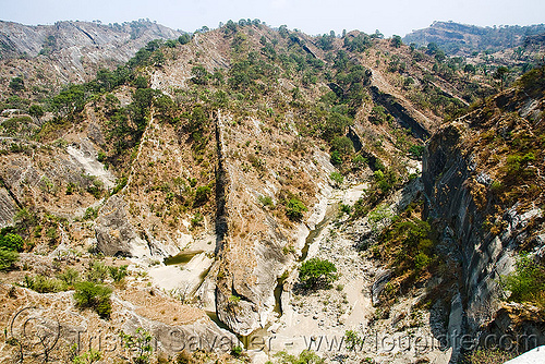
Gooseneck of the Colorado River near Moab (Utah)

Gooseneck of the Colorado River near Moab (Utah)
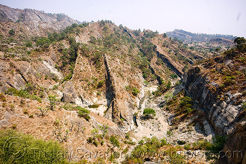
The Gooseneck of the Colorado River near Moab (Utah)
View from San Juan County Road 142 which is often mistakenly called "Potash Road" or "Shafer Trail.".
It looks like an island, but it's just a tight bend of the river.
Taken with a Fisheye lens.
Photo taken on
October 18, 2009
Monticello, UT, USA
GPS coordinates: 38.457300,-109.758000 - Download
KML file for Google Earth (and other mapping apps)
[an error occurred while processing this directive]

